A Few Clicks
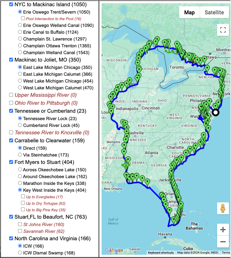
To create an initial route for your Great Loop journey, it only takes a few mouse clicks, and you will have a full route around eastern North America with stops every 50 miles or so.
To create an initial route for your Great Loop journey, it only takes a few mouse clicks, and you will have a full route around eastern North America with stops every 50 miles or so.
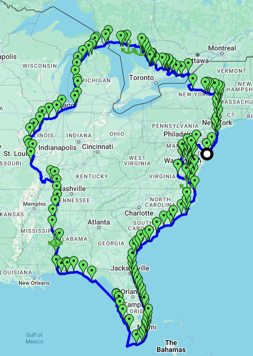
Modify your route from over 17,000 miles of waterways.
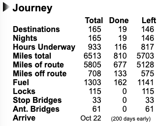
View a summary of your trip including the number of destinations, nights, hours underway, miles to travel, fuel burned, the number of locks and bridges, and when you will arrive.
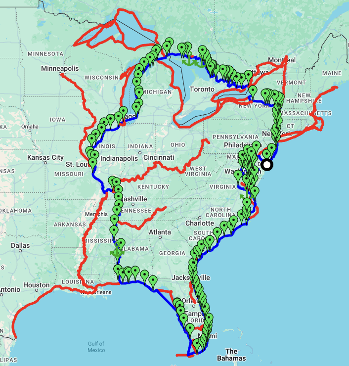
Point and click customization of the route with lots of options especially in the Chesapeake, through Canada, around Florida, and through North Carolina and Virginia.
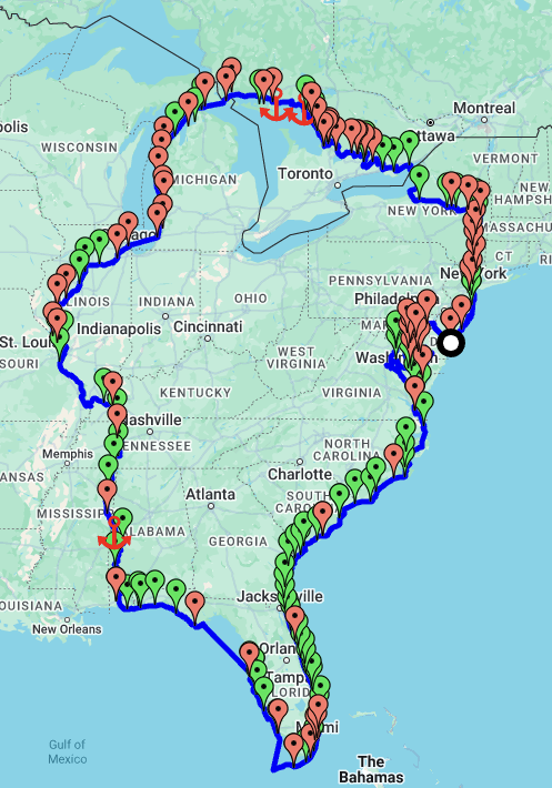
Differentiate the destinations such that green ones have your type a fuel and red ones do not.
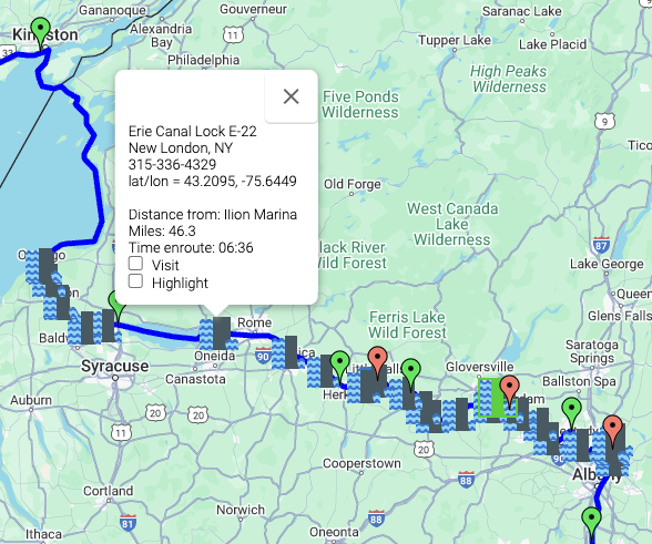
See where they are visually and find out what you need to know about them.
A complete itinerary is automatically generated for you - providing the distance and time it takes to get the next destination, and the fuel left when you get there. It also provides the arrival and departure date. Change the 'nights' to change your itinerary.

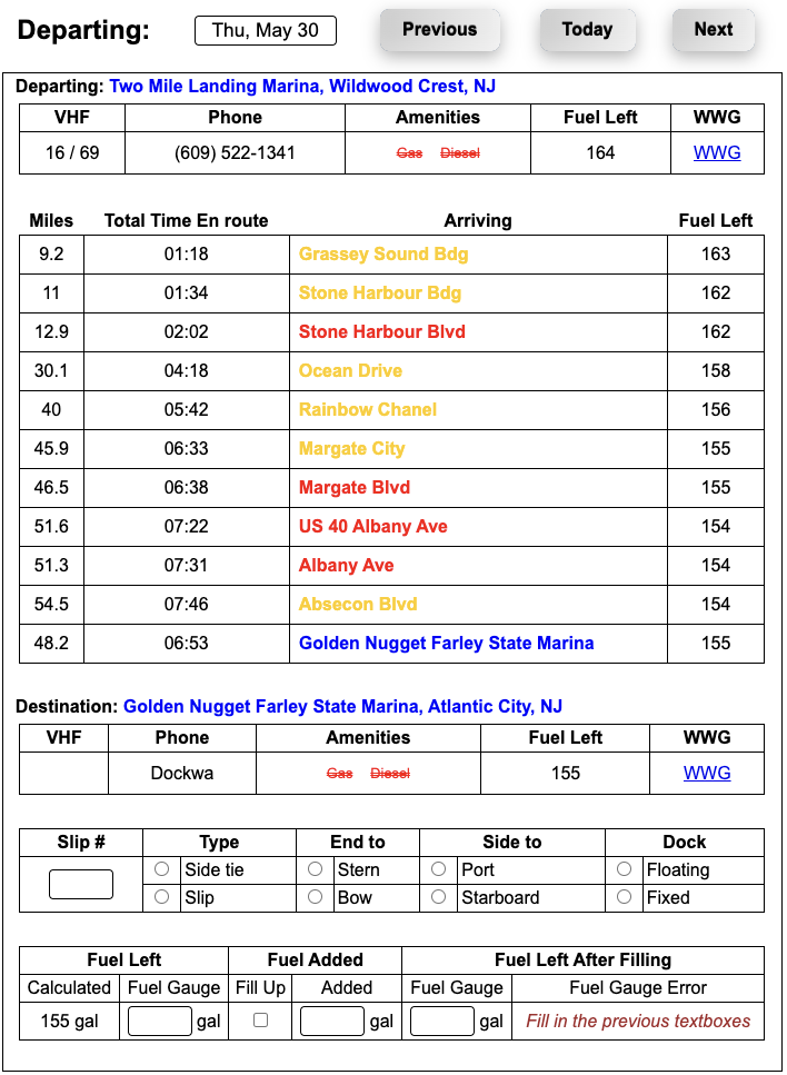
Get a detailed picture of today's leg of the journey - including the bridges you need to wait for (in red) and the ones where you need to put down your antennas (in yellow)'. There's also extensive information about both you departure and destination.'
